Planning Tools for ESRI (ArcMap/Pro)

Experts in Operational Planning
ArcMap/Pro GIS environments are the preferred environment for planning since the planner has access to all relevant context information needed to support efficient decision making around block and road design. Prior to the development of FLiP, planners would have to switch between ArcMap and other software, or even head into the field, to complete certain tasks.
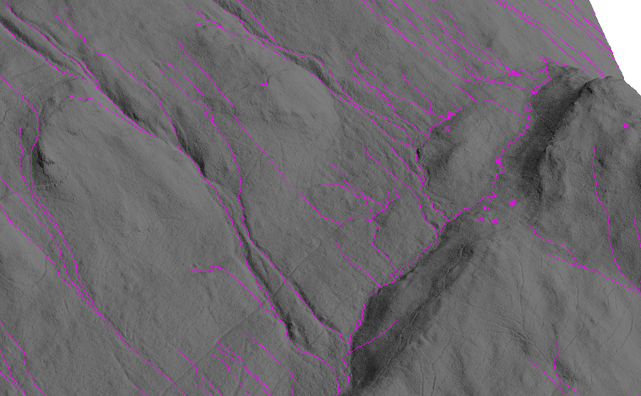
FLiP’s add in for ArcMap or ArcPro enables Operational Planners to utilize LiDAR derived data (e.g. imagery, forest inventory / LiDAR EFI, digital elevation models, canopy height models, streams, existing infrastructure, and any non-timber values mapping such as species at risk or riparian setbacks). Planning activities can be done in office, with highly accurate LiDAR data, and allow more to be accomplished before heading out to the field for verification.
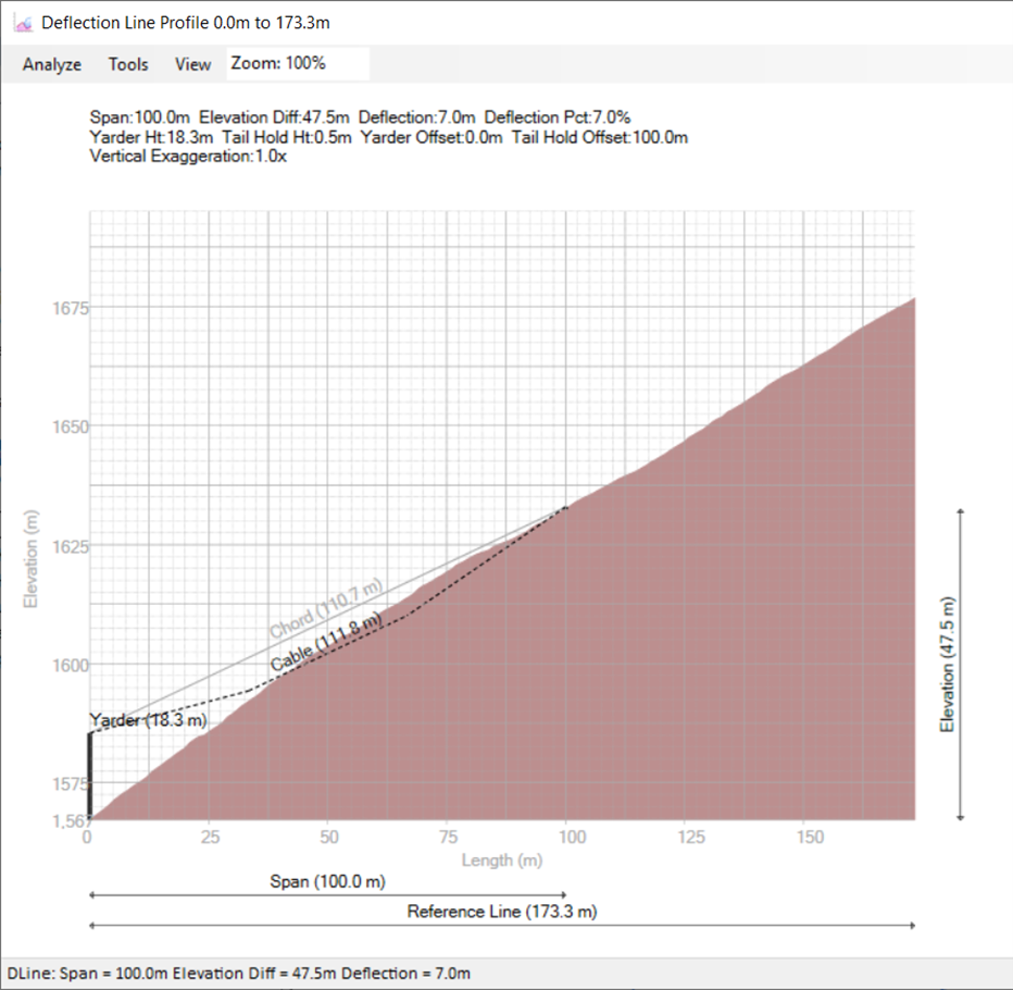
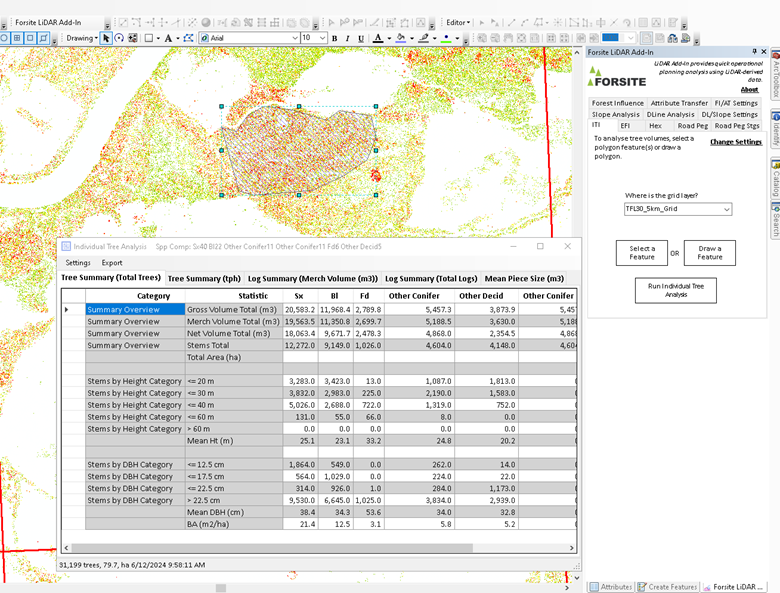
Your planner can work interactively in the GIS system, selecting features to analyze, such as blocks, deflection lines, roads or streams, and quickly generating metrics about the status of those features when compared to LiDAR derived DEM’s, or to LiDAR derived inventories.


